Keyline design is a way of reading the shape of your land and working it so rainwater is slowed, spread and soaked in rather than rushing off. It began in Australia in the mid-twentieth century and has quietly influenced American grazing, orchard and homestead design ever since. This guide explains how it works, where it fits, what it costs and where it can go wrong.
Quick answer: Keyline design is a land-planning system that uses a farm’s topography to find the “keypoints” in each valley, then runs cultivation, fences, channels and ponds along “keylines” that gently move water from wet valleys toward drier ridges. Its signature practice is keyline plowing: shallow subsoiling in patterns that improve infiltration. It can be valuable on rolling, rain-limited land, but results vary, costs are real, and you should get local design help before moving soil.
Where keyline design came from
The system is credited to P.A. Yeomans, an Australian mining engineer turned farmer who developed it on his family’s property in New South Wales in the 1940s and 1950s. His books, beginning in the 1950s, laid out what he called the Keyline Plan. Yeomans was frustrated with erosion and thin, compacted soils. He noticed that conventional contour farming, while better than plowing up and down a slope, still tended to concentrate water in the valleys and leave ridges dry.
His answer was to rethink the contour. Instead of following true level lines everywhere, he proposed working slightly off-contour in a way that carries runoff away from gullies and valley floors and out toward the drier ridges. He paired that with a purpose-built subsoil plow that opens the soil without turning it over. His son, Allan Yeomans, and later practitioners in Australia, New Zealand and North America carried the ideas forward, and keyline concepts were folded into permaculture design in the 1970s and 1980s.
It is worth saying plainly: keyline design is a design philosophy with a lot of enthusiastic practitioners and a thinner body of controlled, peer-reviewed research. Many of the strongest claims come from farmer experience and case studies rather than replicated trials. Treat it as a promising tool, not a guarantee.
Keypoints and keylines explained
Two terms do most of the work.
The keypoint
Walk up a typical valley and the slope is steep near the ridge, then flattens as it approaches the valley floor. The keypoint is the spot where the valley’s profile changes from steep to gentle, where the valley floor seems to “start.” Visually, it is often where a concave slope begins. On a topographic map it is where contour lines shift from tightly packed to more widely spaced. Yeomans considered it one of the most useful places on the landscape, and it is often a good spot for a pond or dam because it sits high enough to feed other areas by gravity.
The keyline
The keyline is the contour line that runs through the keypoint and across the valley. Every other working line is then laid out parallel to it, not parallel to the true contour. Because the lines above the keyline tilt slightly downward toward the ridge, and the lines below tilt slightly downward toward the ridge as well, passes of a plow or planting rows carry water gradually sideways, away from the valley center, instead of letting it collect there.
On a simple, regular slope the pattern is intuitive. On complex terrain with multiple valleys and spurs, finding the right keypoints is genuinely tricky, which is one reason professional help pays off.
Keyline plowing and subsoiling
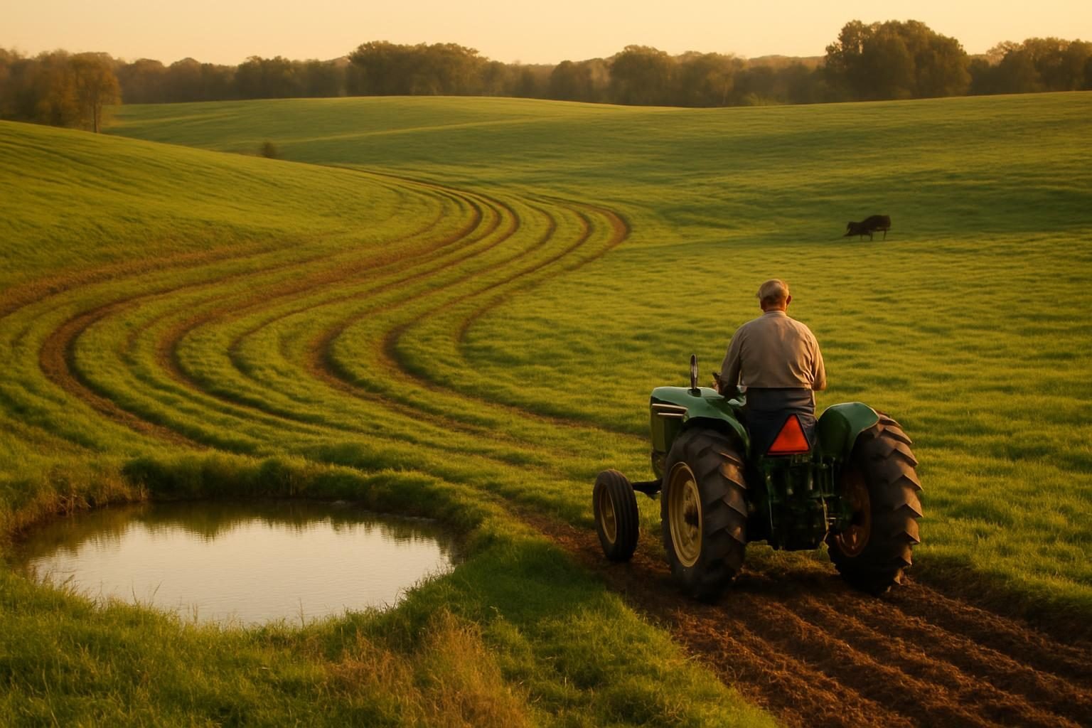
Keyline plowing means pulling a shanked subsoiler along lines parallel to the keyline. The shanks slice through compacted layers without inversion, typically working at depths from a few inches to roughly 12 inches or deeper, with the depth increased gradually over several passes. The goal is to improve water infiltration and root penetration while leaving the surface structure and any living cover largely in place.
Done in the right conditions, the slots left by the shanks act as small channels that let rain move down into the profile and sideways along the slight grade. Roots follow those paths, and biology can take over from there.
Basic steps on pasture
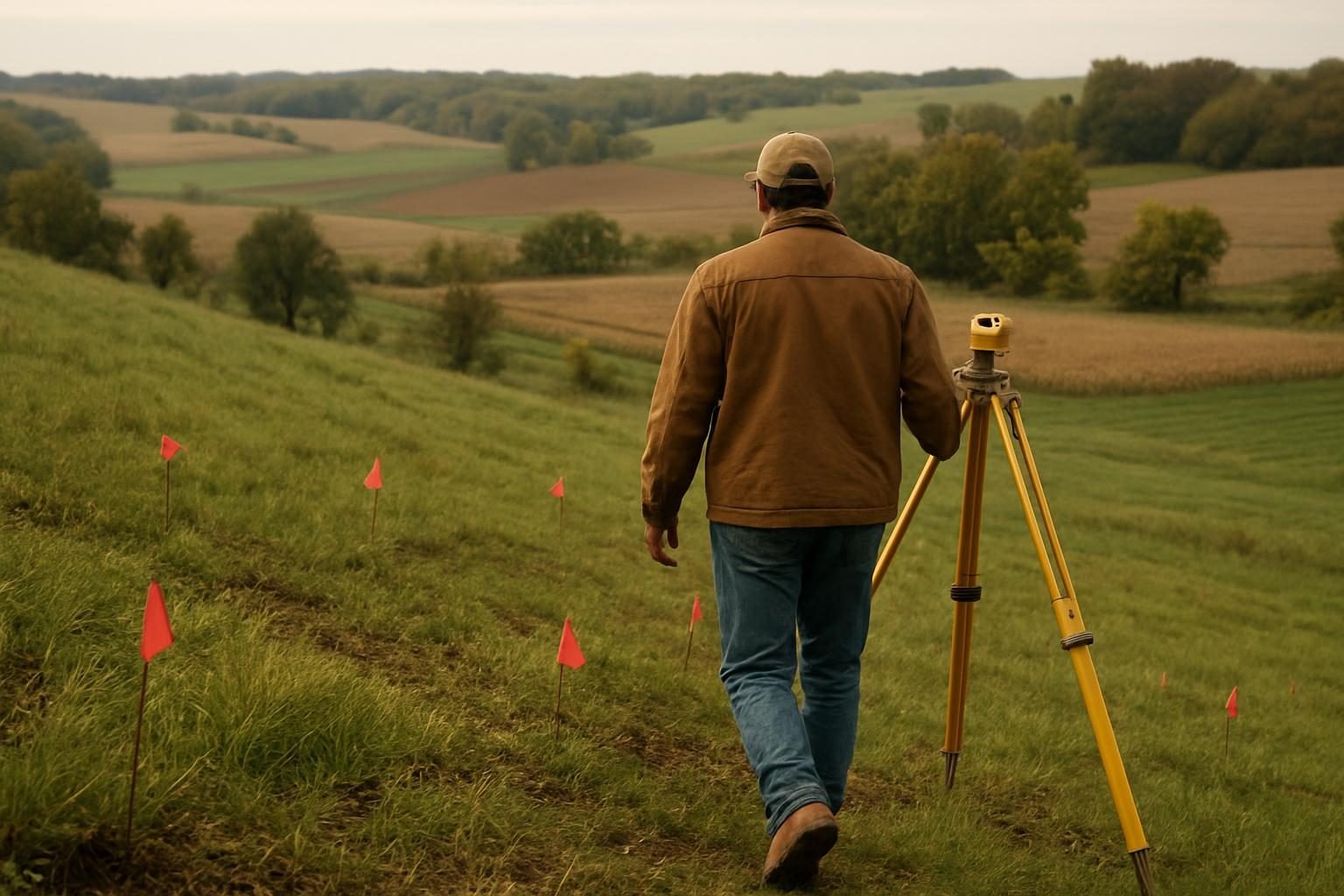
- Get a topographic map or LiDAR-based contour data for your property and walk the land with it.
- Identify valleys, keypoints and a primary keyline for each catchment.
- Mark the keyline in the field using a laser level, a transit or GPS-guided equipment.
- Plow parallel lines above and below the keyline with a keyline subsoiler, starting shallow.
- Plan timing for moist, not saturated, soil. Avoid working when soil is too wet or bone dry.
- Follow with deliberate management: rotational grazing, plant diversity and rest, so the structure you opened actually holds.
Subsoiling is not a one-time fix for a management problem. If the underlying cause of compaction is continuous grazing, bare soil or heavy traffic, the ground will re-compact. Pair the machinery with changes in how you graze or crop.
Ponds, channels and moving water
The full Keyline Plan is larger than plowing. Yeomans described a sequence of patterns for water, roads, trees, buildings and fences. The water piece usually works like this:
- Ponds at or near keypoints: A farm pond placed high in the catchment can store water and feed lower ground by gravity, supplying livestock water or irrigation without pumping.
- Channels and diversions: Gently graded channels can carry excess runoff from wet valleys out to drier ridge areas, or move pond water along a keyline to irrigate.
- Roads and fences along keylines: Laying out access roads and paddock fences on keyline patterns can direct runoff and make later grazing and cultivation line up with the water plan.
Keyline channels differ from swales, which are typically level ditches with berms designed to infiltrate water in place. Keyline channels are graded to move water slowly. Both have a place, and both can fail if built where soils, slopes or rainfall do not suit them.
Dams and ponds are regulated in most states. Depending on size and location you may need permits, and water rights vary dramatically between the arid West and the humid East. Confirm requirements with your state water agency and county before you dig.
Trees, pasture and cropland on a keyline layout
The keyline pattern is a natural framework for perennial plantings. Tree rows set along keylines make it easier to run equipment and manage water. That is the logic behind many silvopasture systems, alley cropping layouts and food forest designs on sloping ground, with alleys wide enough for mowing, grazing or crops.
On cropland, keyline-style rows can reduce the tendency to cut deep rills and concentrate runoff, though the same erosion-control goals can often be met with no-till farming, cover crops and conventional NRCS practices such as terraces and grassed waterways. Keyline is one route, not the only one.
When keyline design is worth it
| Situation | Fit | Why |
|---|---|---|
| Rolling pasture, 3-15% slopes, water-limited climate | Often strong | Clear valleys and ridges; infiltration and distribution gains matter most |
| Dry-summer regions (parts of the West, Southwest, Great Plains) | Often strong | Storing and spreading scarce rain has high value |
| Humid East with heavy clay and frequent rain | Mixed | Waterlogging can be the problem, not drought; channels need careful drainage design |
| Flat ground (under about 2% slope) | Limited | Little topography to work with; other practices usually do more |
| Steep, rocky or shallow soils | Caution | Subsoiling can be impractical or risky |
| Small urban or garden lots | Rarely | Scale is too small; simpler infiltration and mulch work better (see no-dig gardening) |
A good test: if you can stand on a ridge during a heavy rain and watch water sheet off one slope into a gully while another slope stays dry, you have the kind of uneven water distribution keyline aims to fix.
Costs and cautions
Costs vary widely with acreage, equipment access and terrain, so treat any number as a rough planning range and get local quotes.
- Design: A professional site assessment and keyline layout is often a few hundred to a few thousand dollars, depending on property size and who you hire.
- Equipment: A keyline-style subsoiler is a significant purchase, and many farmers instead hire a custom operator or borrow equipment. Tractor horsepower requirements can be substantial for deep shanks.
- Ponds and earthwork: Excavation is typically the largest expense, often priced by hour or cubic yard of earth moved. Costs can run from modest to tens of thousands of dollars for larger structures.
- Time: Soil responses take seasons, not weeks. Building organic matter and structure is slow, as covered in our guide to increasing soil organic matter.
Cautions worth taking seriously:
- Moving water concentrates it. A poorly graded channel or undersized spillway can cause the very erosion you were trying to prevent.
- Subsoiling wet clay can smear and worsen compaction.
- Dam failure is a safety and liability issue. Dams need proper engineering, compaction and spillways.
- Claims of dramatic yield or drought-proofing results should be weighed against the limited controlled research. Track your own results.
Get local design help first
Because every watershed is different, start with people who know yours. Your local NRCS field office and conservation district can help with soils, slopes and permitting, and may offer technical assistance at no cost. Cost-share for related conservation practices may be available; see our guide to EQIP for regenerative farmers and confirm current practices and payment rates directly with NRCS. State extension, SARE-funded educators and experienced keyline or permaculture designers can add practical field knowledge. Ask any designer for references from similar climates and soils, and for projects at least a few years old.
If you are earlier in your journey, our primer on what regenerative agriculture is and the 3-year transition plan can help you sequence water work with soil and grazing changes. For more on this topic area, browse the Agroforestry & Water section. If you plan to plant trees on your lines, see also nut trees for agroforestry for long-lived crop options.
Key takeaways
- Keyline design, developed by P.A. Yeomans, uses keypoints and keylines to spread water from valleys toward ridges.
- Keyline plowing opens compacted soil without inversion, but management must change or compaction returns.
- Best suited to rolling, water-limited land; weaker fit on flat, very wet or very steep sites.
- Expect real costs in design, equipment and earthwork, and slow biological results.
- Evidence is more anecdotal than experimental, so monitor your own results.
- Get NRCS, extension or an experienced designer involved before moving soil or building ponds.
Frequently asked questions
What is keyline design in simple terms?
It is a method of planning a farm around its natural water flow. You find the keypoint in each valley, mark the keyline through it, and run plowing, fences, roads and channels in patterns that slow water and move it toward drier ground rather than letting it pool in valleys or run off.
Is keyline design the same as swales or contour farming?
No. Contour farming follows true level lines. Swales are level, berm-backed ditches that hold water in place. Keyline layouts run slightly off-contour so water drifts gradually toward ridges. They share the goal of slowing runoff, but the geometry and purpose differ.
How deep should keyline subsoiling go?
Practitioners typically start shallow, a few inches, and deepen over several passes, often reaching somewhere near 12 inches or more where soils allow. The right depth depends on your soil, compaction layers and tractor power. Avoid working very wet or very dry soil, and get local advice.
Does keyline design work in the humid East?
It can, but the goals shift. In wetter regions the main issue is often drainage and erosion rather than drought, so channels must be carefully graded to move water safely. Heavy clay and frequent rain make timing and design more critical, and conventional NRCS practices may serve as well or better.
How much does a keyline project cost?
It depends on acreage and earthwork. Design consultations are often in the hundreds to low thousands of dollars, while plowing can be done with hired or owned equipment, and ponds or dams can range from modest to tens of thousands. Get several local quotes and ask NRCS about technical and cost-share help.